Hema South East New South Wales Map - Wollongong to Victorian Border
Hema South East New South Wales Map - Wollongong to Victorian Border
Regular price
$15.95
Regular price
Sale price
$15.95
Unit price
per
Taxes included.
Shipping calculated at checkout.
Description
Description
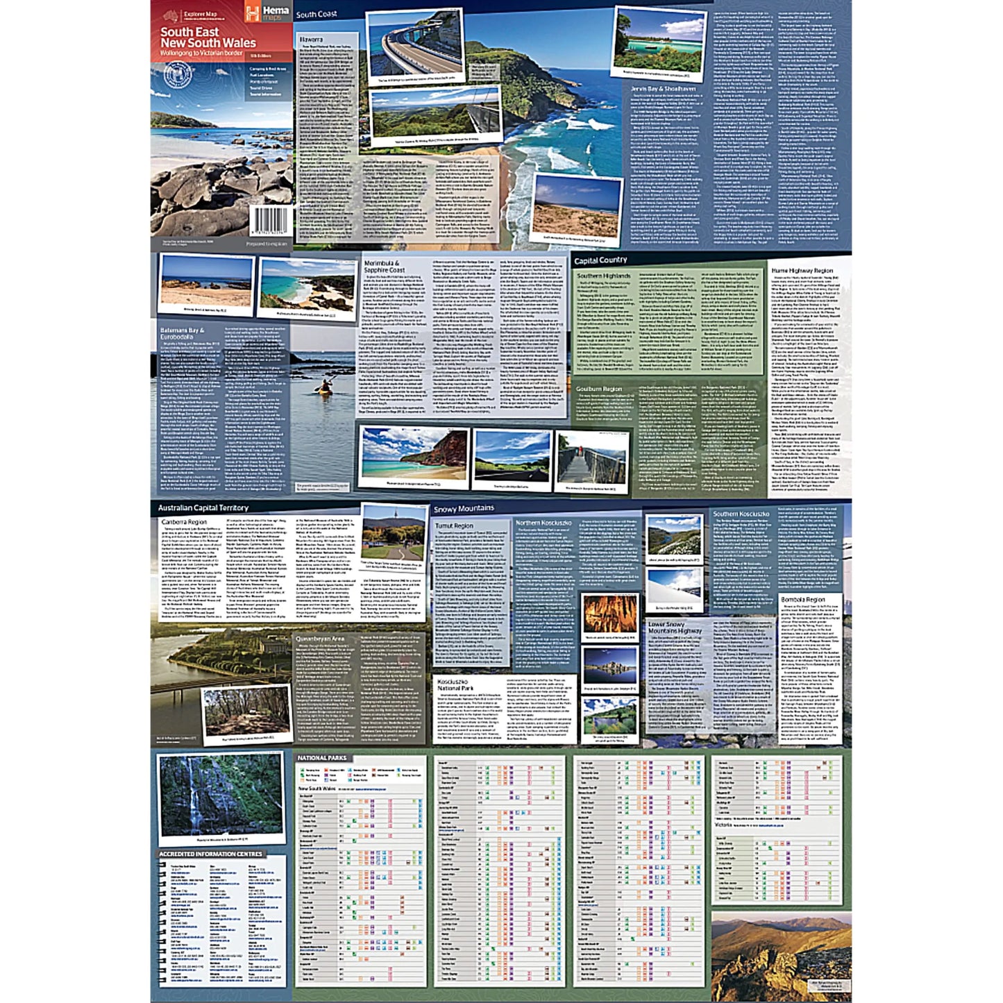
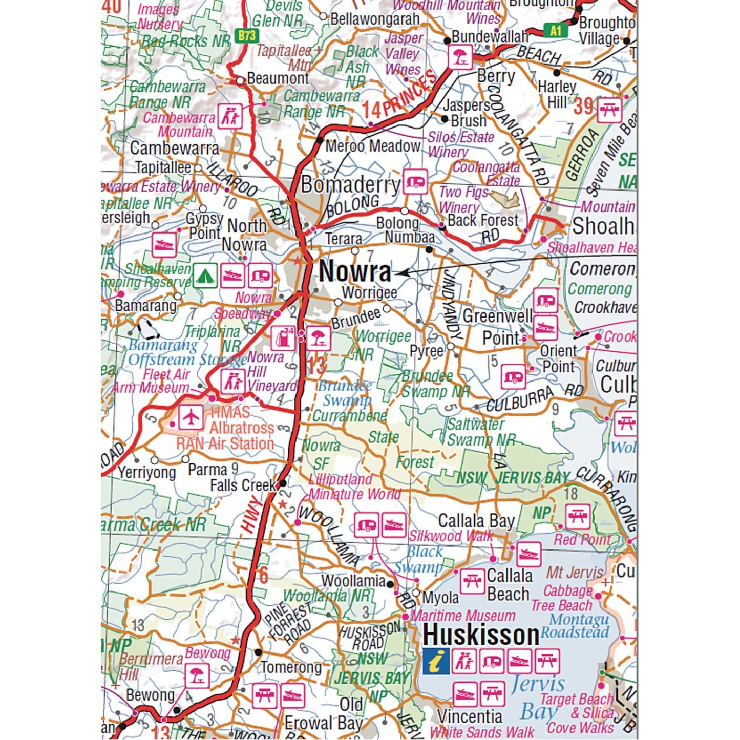
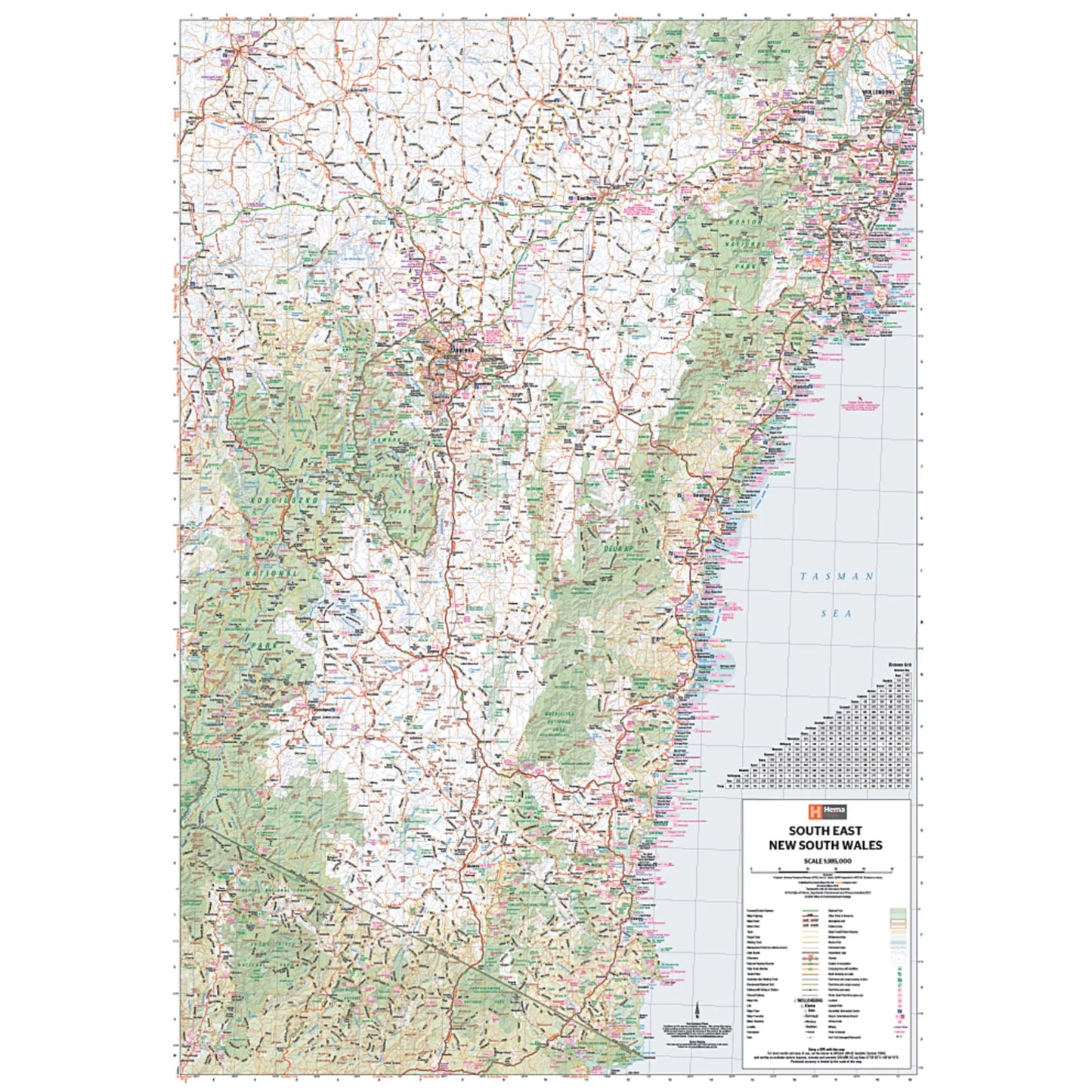
A regional map of South East New South Wales (1:385,000) that ranges from Wollongong down to the Victoria border and out to Gundagai and past Jindabyne in the West. Covered regions in the map include; Illawarra, Jervis Bay & Shoalhaven, Batemans Bay, Canberra & surrounds, Merimbula & Sapphire Coast, Southern Highlands, Goulburn Region and the Snowy Mountains. On the opposite side is extensive information on numerous regions, including visitor, historical and background information.
Key Features:
- Comprehensive map of South East New South Wales
- Camping & rest areas
- Fuel locations
- Tourist drives
- Detailed National Park Listing with facilities
- Tourist Information Centres
Product Details:
- Edition: 5th
- Publication Date: 12/03/14
- Scale: 1:385,000
- Folded size (WxHxD): 140mm x 250mm x 3mm
- Flat size (WxH): 1000mm x 700mm
- Weight: 0.09kgs
Couldn't load pickup availability
SKU:9781925625967
View full details