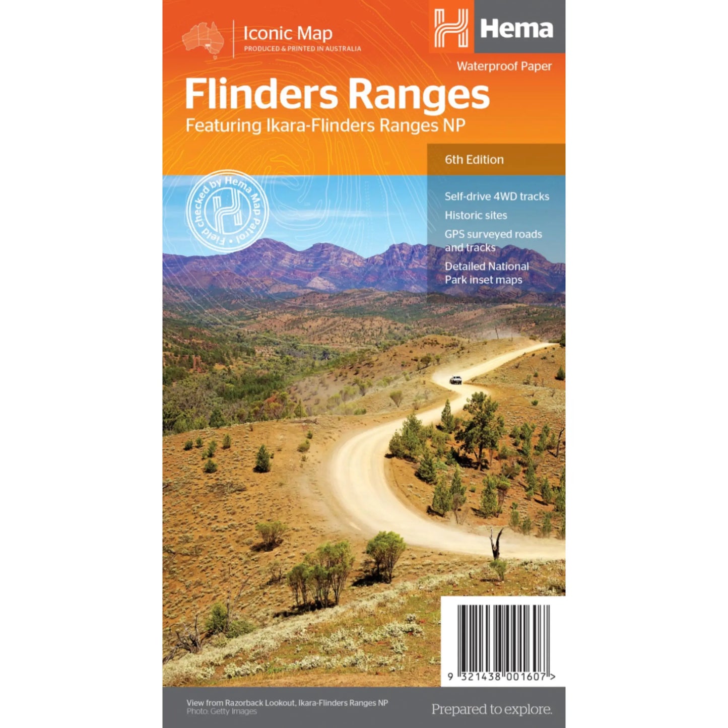
Hema Flinders Ranges Map - 6th Edition (Waterproof Paper)
Hema Flinders Ranges Map - 6th Edition (Waterproof Paper)
Regular price
$13.46
Regular price
$14.95
Sale price
$13.46
Unit price
per
Taxes included.
Shipping calculated at checkout.
Description
Description
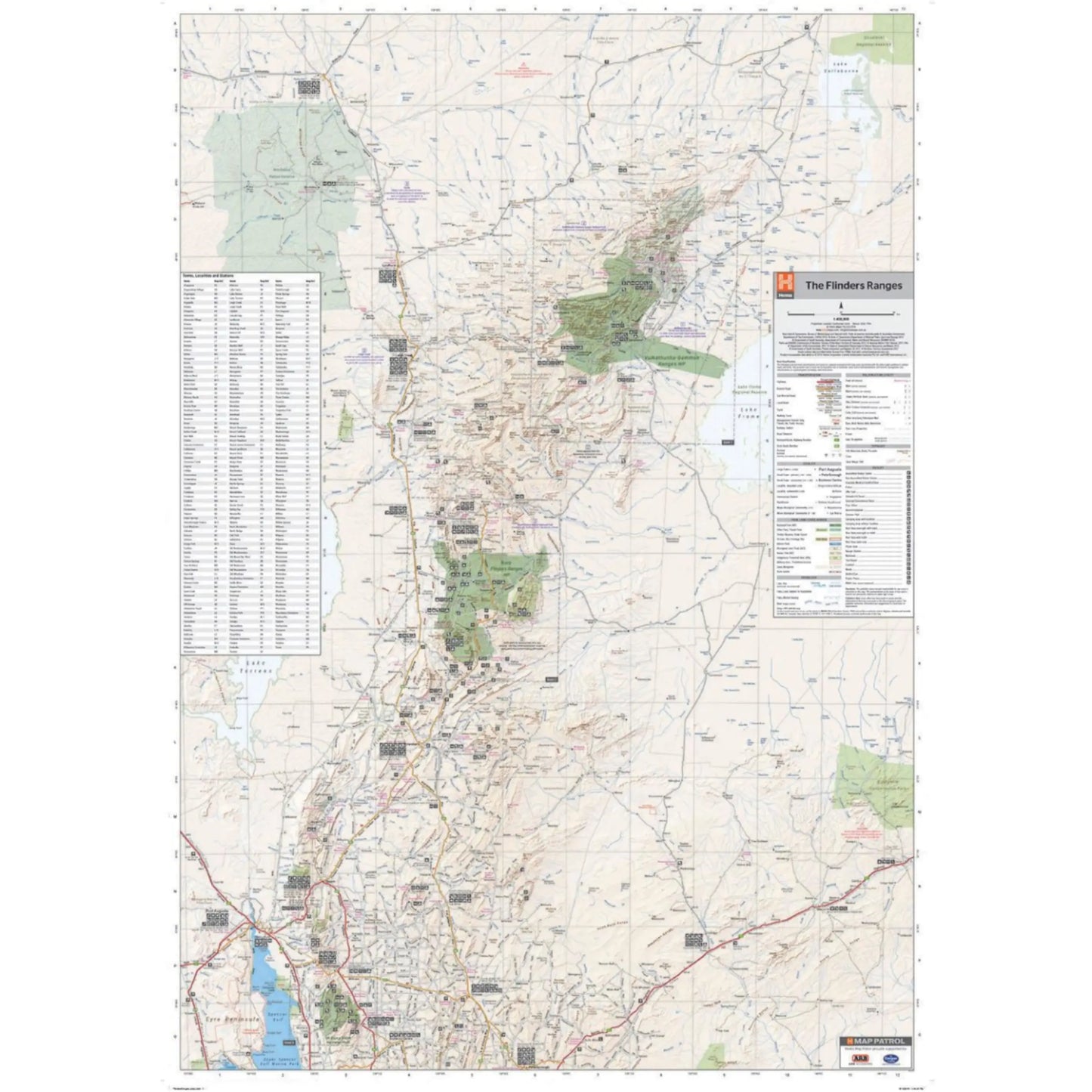
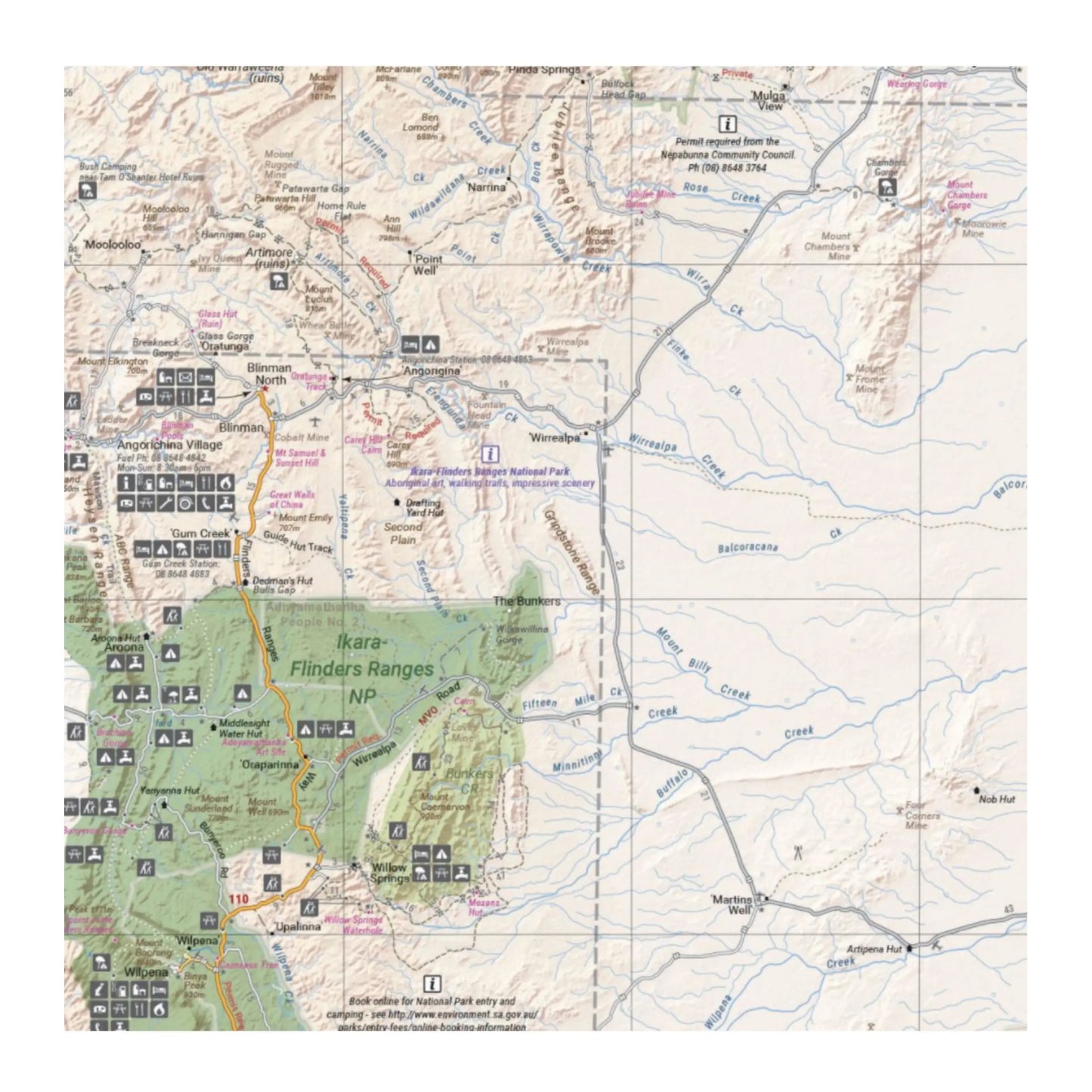
A waterproof map of the Flinders Ranges with inset national park maps of Flinders Ranges National Park and Vulkathunha-Gammon Ranges National Park. Visitor information for both the national parks, the Leigh Creek region and the Blinman region make trip planning and navigation simple, with accompanying tourist information including self-drive treks, historic sites, necessary contact details and listed national parks and reserves.
Key features:
- GPS surveyed roads and tracks
- Self-drive 4WD tracks
- Camping, bush camping, walking tracks
- Historic sites
- Detailed National Park inset maps
- Printed on waterproof paper
- Scale: 1:400 000
##ATTRIBUTEDETAILS[groupid=3]####ATTRIBUTEDETAILS[groupid=9]##
Couldn't load pickup availability
SKU:9321438001607
View full details