Hema Western Australia State Map - 11th Edition on Waterproof Paper
Hema Western Australia State Map - 11th Edition on Waterproof Paper
Regular price
$13.46
Regular price
$14.95
Sale price
$13.46
Unit price
per
Taxes included.
Shipping calculated at checkout.
Description
Description
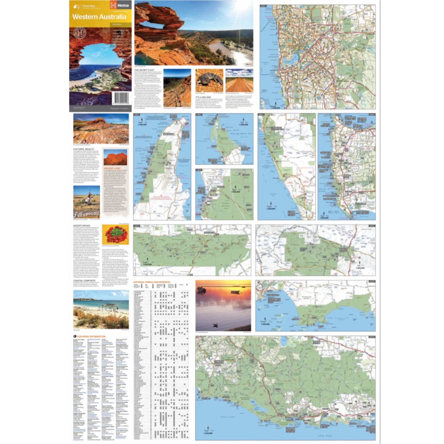
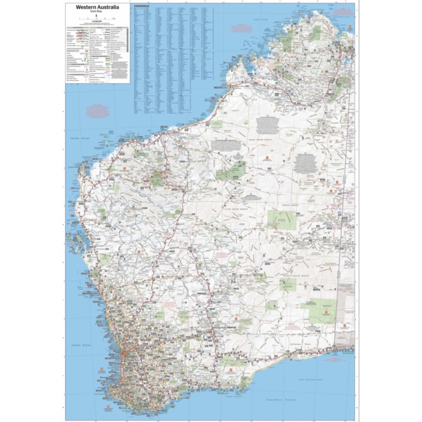
A state touring map of Western Australia (WA) featuring:
- Camping and rest areas
- Caravan parks
- Fuel locations
- Information centres
- Desert tracks
- Full index
- Waterproof paper
- Folded size (WxHxD): 140mm x 250mm x 3mm
- Flat size (WxH): 700mm x 1000mm
- Scale: 1:2500000
On the reverse side of the maps are the CBD and through road maps of Perth, plus inset maps of Leeuwin-Naturaliste National Park, Cape Range National Park, Nambung National Park, Francois Peron National Park, Purnululu National Park, Walpole-Nornalup National Park and Karijini National Park. Also included are listed national parks and information centres within Western Australia.
##ATTRIBUTEDETAILS[groupid=3]####ATTRIBUTEDETAILS[groupid=9]##
Couldn't load pickup availability
SKU:9321438001553
View full details