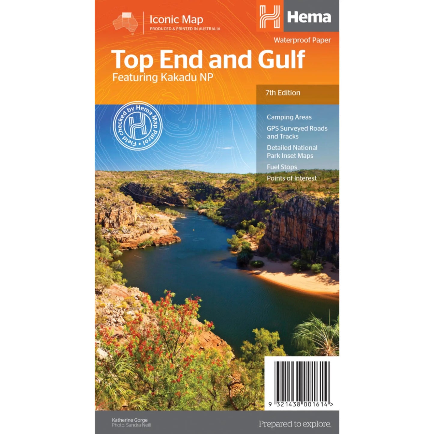
Hema Top End and Gulf Waterproof Map (Featuring Kakadu National Park) - 7th Edition
Hema Top End and Gulf Waterproof Map (Featuring Kakadu National Park) - 7th Edition
Regular price
$13.46
Regular price
$14.95
Sale price
$13.46
Unit price
per
Taxes included.
Shipping calculated at checkout.
Description
Description
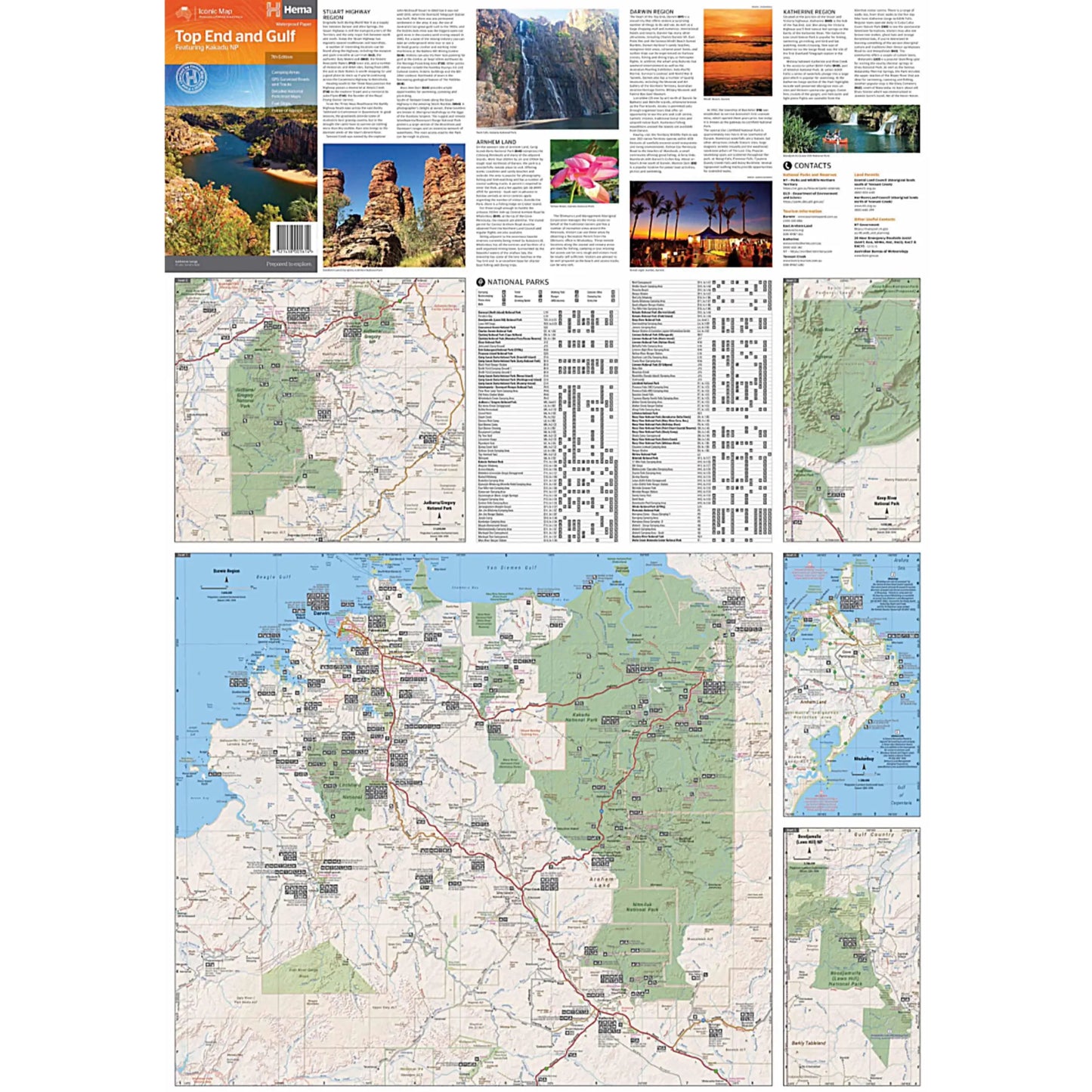
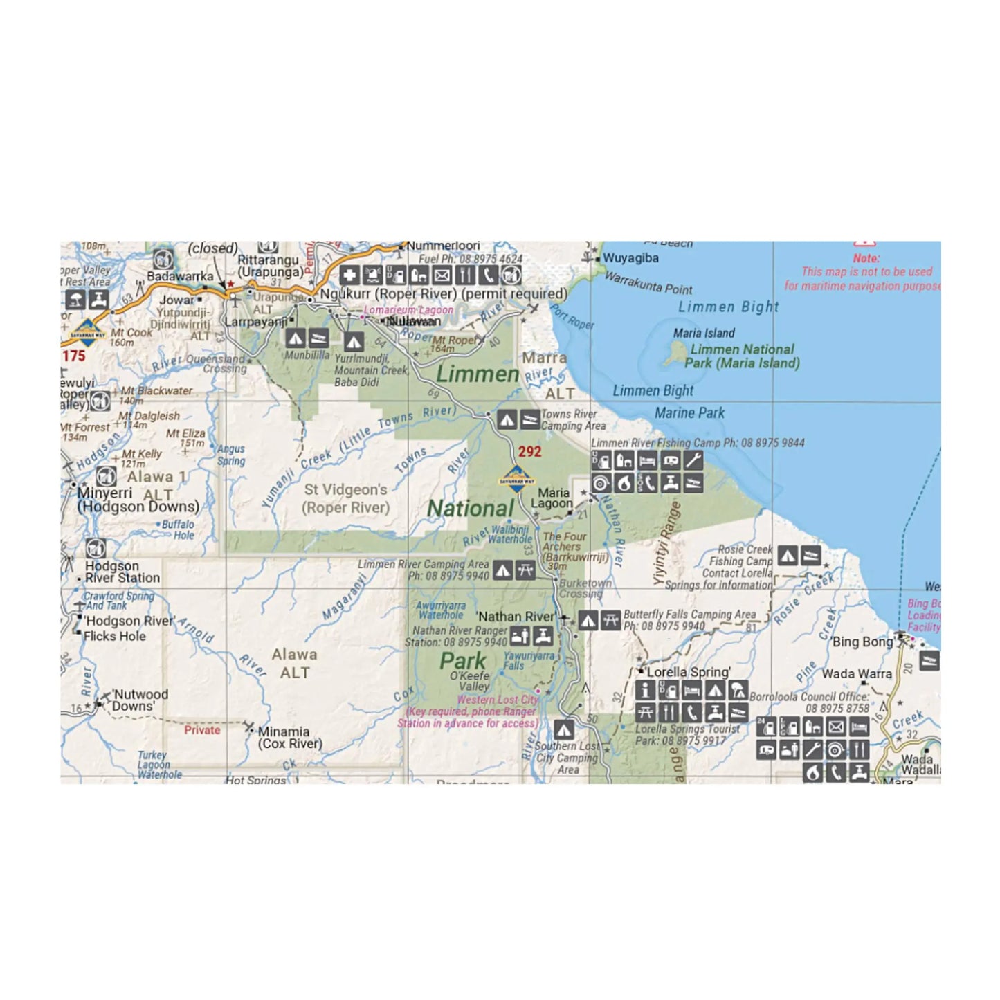
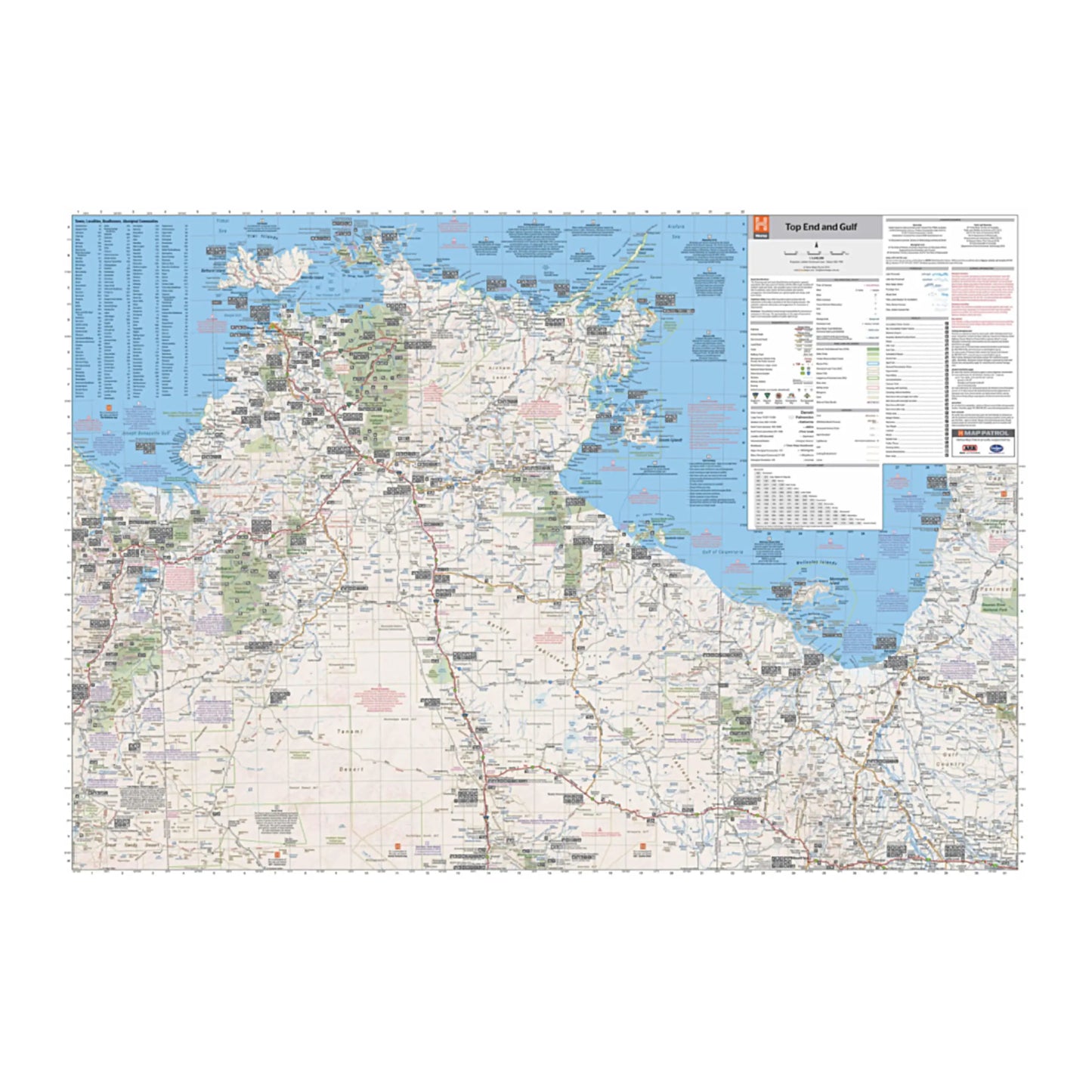
This regional waterproof map of the Top End and Gulf is ideal for discovering the northern parts of Australia's NT by 4WD. It includes a main map of the Darwin region, Judbarra / Gregory National Park, Nhulunbuy, Keep River National Park and Boodjamulla (Lawn Hill) National Park. There is additional tourist information for Arnhem Land, the Roper River trek, Darwin region, Douglas-Daly district, Nature’s Way, Victoria Highway, Katherine Region and the Stuart Highway Region.
Features:
- GPS surveyed roads and tracks
- Fuel stops
- Self-drive 4WD tracks
- Camping areas
- Historic sites
- Detailed National Park inset maps
- Waterproof paper
- Scale: 1:1,650,000
- Folded size (WxHxD): 140mm x 250mm x 3mm
- Flat size (WxH): 700mm x 1000mm
Couldn't load pickup availability
SKU:9321438001614
View full details