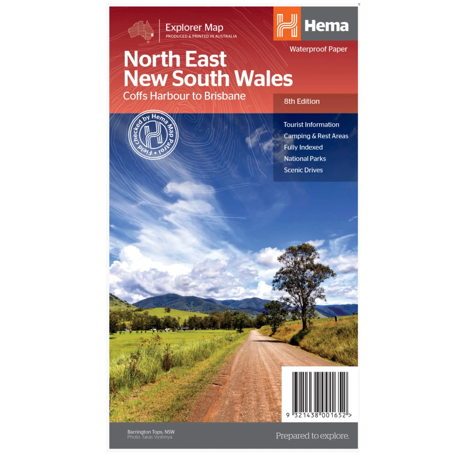
Hema North East New South Wales Map - Edition 8 (Waterproof)
Hema North East New South Wales Map - Edition 8 (Waterproof)
Regular price
$13.46
Regular price
$14.95
Sale price
$13.46
Unit price
per
Taxes included.
Shipping calculated at checkout.
Description
Description
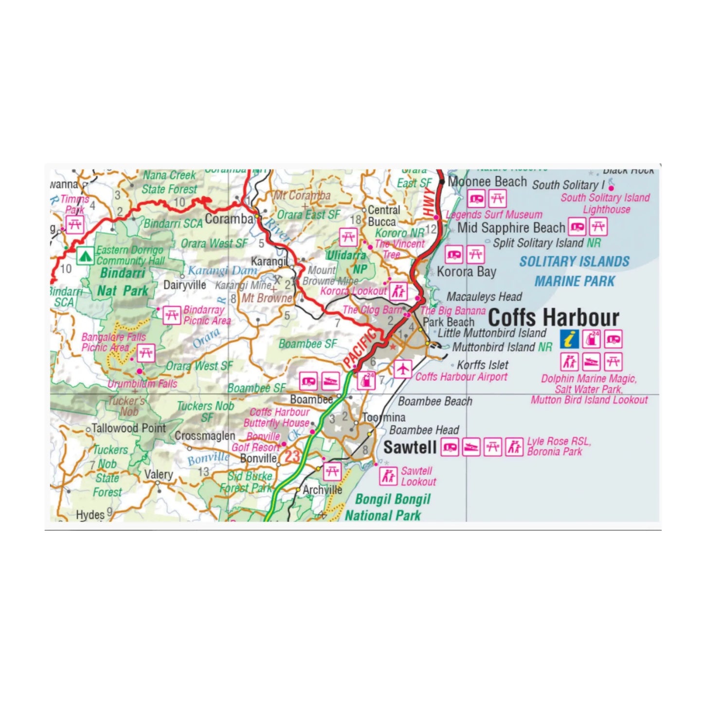
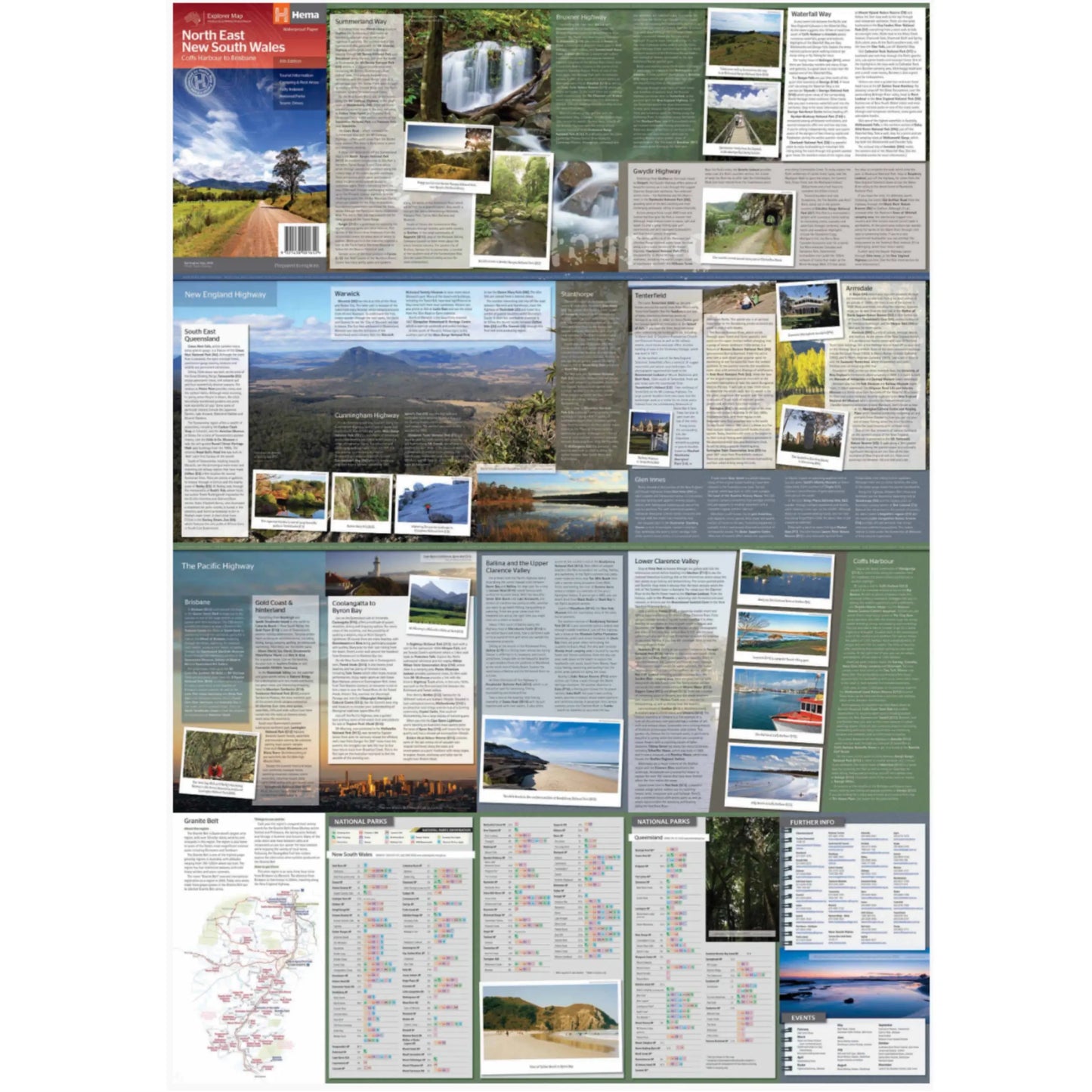
A regional map of North East New South Wales (1:375,000) that is the perfect companion for touring through North East New South Wales (NSW). The map features information on the major touring routes through the region including the Summerland Way, Bruxner Highway, Waterfall Way and Gwydir Highway, as well as major tourist attractions along both the Pacific Highway and the New England Highway. Also included are listed national parks within the region, contact information and events.
Key Features:
- Top scenic drives
- Camping and rest areas
- Fully indexed
- Events and information
- Points of interest
- Waterproof paper
Size Folded: 14 x 25 cm
Size : 70 x 100 cm
##ATTRIBUTEDETAILS[groupid=3]####ATTRIBUTEDETAILS[groupid=9]##
Couldn't load pickup availability
SKU:9321438001652
View full details