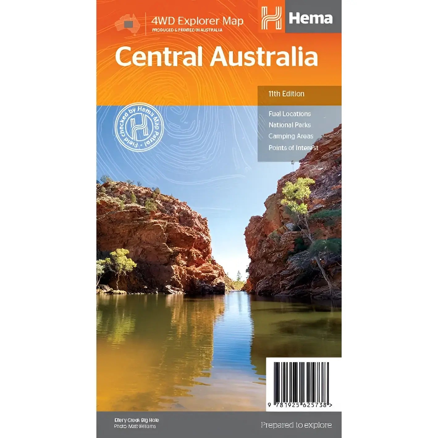
Hema Central Australia Map (Edition 11)
Hema Central Australia Map (Edition 11)
Regular price
$14.95
Regular price
Sale price
$14.95
Unit price
per
Taxes included.
Shipping calculated at checkout.
Description
Description
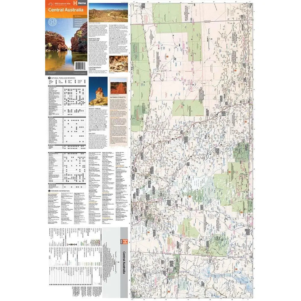
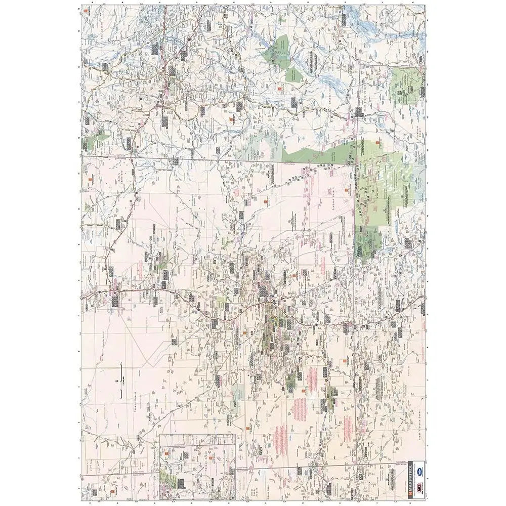
This waterproof map of the Central Australia region is ideal for discovering some of Australia's most iconic landscapes. The main map covers the area around Alice Springs, including Uluru, Kata Tjuta, West MacDonnell Range, as well as the Simpson Desert and popular tracks such as the Canning Stock Route.
It also features additional information relating to permits, useful contacts and historical context surrounding some of the area's most popular tourist destinations.
PRODUCT FEATURES
- GPS surveyed roads and tracks
- Fuel stops
- 4WD tracks
- Camping areas
- Historic sites
- Detailed inset maps
WHAT'S NEW IN THIS EDITION:
- New edition, new layout
- New cartographic map specifications
Unfolded Size (WxH) 750 x 700 mm
Cover Size (WxHxD) 140 x 250 x 3 mm
Couldn't load pickup availability
SKU:9781925625738
View full details